
Historic Route 66 in Illinois: Construction

Photograph of Construction of Northbound Lanes on Route 66 in 1954. 1954. Towanda District Library.
Like most roads, Route 66 repurposed other roads and trails, laying a new physical and administrative infrastructure on top of historic passages and routes that preceded car culture. In the earliest part of the 20th century, people traveled between Chicago and Saint Louis on the “Pontiac Trail,” a native trail-turned-unpaved-stagecoach-byway that travelled southwest through Springfield and the St. Louis area. By 1915 it became IL-4, and ran parallel to Chicago Alton Railroad.
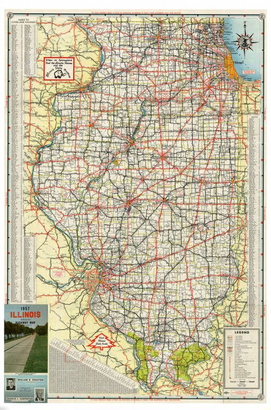
1956-1957 Illinois: Official Highway Map. 1956-1957. Illinois State Library.
The relationship between railroad and road was close in Illinois. Railroads connected metropolitan areas, with small farm towns along the railroads. Towns grew and farmers needed roads to ship their crop. Dirt roads weren't enough, however; the roads of Illinois in 1910 were hardly better than the Illinois roads of 1818 according to historian David Wrone. The compact prairie sod was all too vulnerable to the elements; quick to become deep mud that a horse drawing cargo had difficulty picking its way through, and according to Donald Tingley, prompted “automobile pioneers [to store] their machines in the barn until spring. In the summer the mud turned into dust almost as deep.” Motorists, farmers, bankers and cyclists alike began to organize associations and committees that sought to advocate for better roads and investigate solutions. The Tice Road Law of 1913 provided state assistance on roadside improvement for any county which was willing to build and maintain their roads. The Illinois Highway Department integrated a system to connect towns through highways. Illinois’ road story received another push in 1916 when the Federal Aid Road Act was passed, granting Illinois roughly three million dollars between 1917 and 1922.